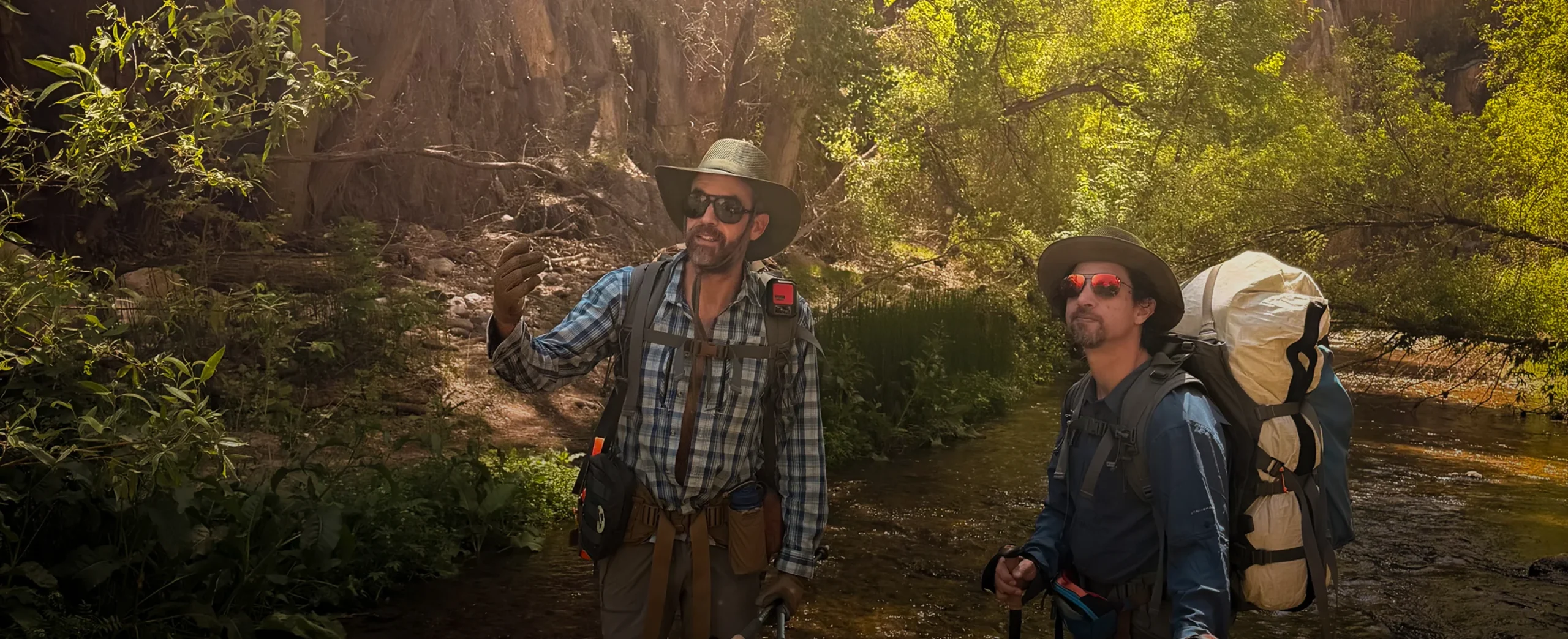
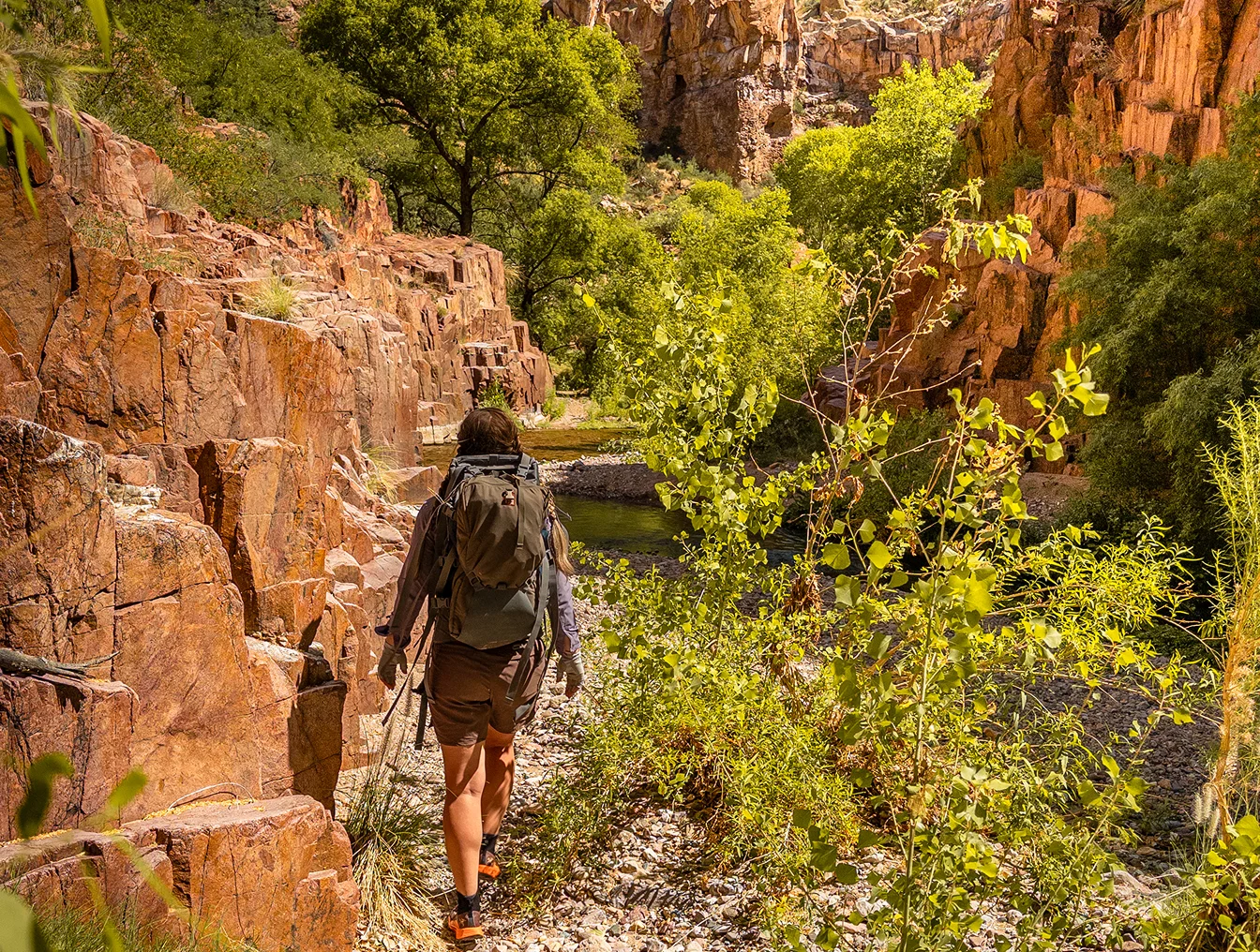
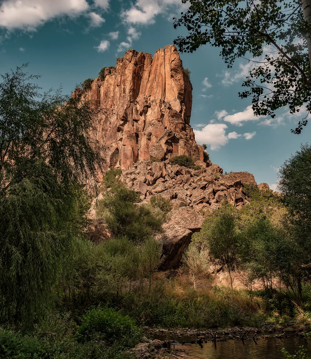
Aravaipa Canyon is about 12 miles from trailhead to trailhead, and you can walk it in one, two or three days. We think East to West is the best direction for most people. The trailheads are about 160 miles apart by road, so you either shuttle two cars yourself or book a shuttle.
Note that the East side road can sometimes be closed due to flood damage. Check Recreation.gov and the Graham County Road Closures page before you make the trip. If the road is closed, Recreation.gov will give you a refund.
The route in numbers
- Distance: about 12 miles between the trailheads (BLM gives 12.25).
- Elevation: the East Trailhead is at 3,060 feet and the West at 2,630, so East to West drops about 430 feet.
- Pace: about 1.5 miles per hour with a full pack, in our experience.
- Drive between trailheads: about 160 miles, roughly 3.5 hours.
- Permits: one permit, for the trailhead you enter from. Up to 3 days and 2 nights.
Which direction should you hike?
Both ways work, and it’s a great hike either way. If you have West permits, you should definitely consider the through-hike. But we think East to West is best for most people:
- The drive home is short. Most people live in the Phoenix or Tucson areas, closer to the West side.
- You don’t need a 4×4. Most people don’t have a high-clearance 4×4, so they can’t reliably get themselves to the shuttle pickup spot on the East side.
- A late finish is easier on the West side. You might reach your car in the dark. If your car is on the East side, that means driving the 11 or 12 creek crossings in the dark. It’s doable, but it’s not ideal.
- It’s slightly downhill. That makes it a tiny bit easier.
- The ending feels right. Walking East to West, you go with the flow of the water until the canyon widens out into rural flatland. You reach the actual end of the canyon on the West side. The East side exit doesn’t quite feel like a clear ending.
How many days does it take, and where should you camp?
At about 1.5 miles per hour, the 12 miles take a full day. You can go a bit faster, but in our opinion it’s very tiring and less enjoyable.
- One day: if you only have a one-day permit, you can do the whole through-hike in a day, and it’s absolutely worth doing. Just plan to be tired, even though it’s only 12 miles.
- Two days, one night: on the first day, hike to the middle–between Horse Camp Canyon and Virgus Canyon. There are some excellent spots to camp there, and it splits the hiking evenly between the two days.
- Three days, two nights: camp one night at Deer Creek Canyon and one night between Horse Camp Canyon and Virgus Canyon. Use the middle day to explore the side canyons.
There are no designated campsites, and almost every camping spot in Aravaipa can flood, so Recreation.gov advises camping well above the creek.
How do you get back to your car?
You have two options.
Two cars. Leave one car at the exit, take the other to the entrance, and hike through. The catch comes at the end: when you reach your exit car, you can’t just go home. You have to drive about 160 miles to get your entrance car first.
A shuttle. You only have one car to worry about, and it’s waiting for you at the exit. When you get to it, you can just go home.
Either way, each car you leave at a trailhead needs the permit’s parking pass on the dashboard, and one permit covers at most two cars.
Which permit do you need?
Your permit is only valid for the trailhead you enter from. Hiking East to West means an East permit, and East permits are capped at 20 people a day. If you book just our shuttle, we don’t provide permits–you must get the permits yourself.
So we recommend that you lock in the permits first. They’re harder to get than the shuttle. If the shuttle isn’t available for your date, you can cancel the permit 5 or more days before the permit date and get a refund, minus the $6 reservation fee. After that, there’s no refund.
For how the permit system works, see Aravaipa permits, and if your dates are gone, what to do when permits are sold out.
What does a shuttle day look like?
Most people drive to the West side trailhead early in the morning from Phoenix or Tucson. We usually meet shortly after sunrise, which gets you to the East side trailhead by mid morning with plenty of daylight for your hiking day.
Similarly, if we are picking you up on the East side and dropping you at the West side, we recommend a pickup around sunrise so that you have plenty of daylight for hiking.
But we’ll meet you at whatever time works for you. It’s one of the details we go over on the planning call.
There’s another itinerary you can consider, which maximizes your permit time. We can pick you up on the West side on the day before your permit starts, and we’ll shuttle you to the East side where we host you at our orientation camp at Turkey Creek– a set camp just outside the permitted wilderness boundary. We serve dinner and the next morning we serve breakfast, and you can enter the East side as early as you’d like on the day your permit starts. This means you don’t have to spend any of your limited permit time shuttling from one trailhead to another.
When is it unsafe to go?
Flood damage can make the road to the East Trailhead impassable, and flood risk makes both the road and the canyon unsafe for vehicles and hikers. Recreation.gov says a creek flow over 100 cubic feet per second is generally too fast and deep for easy wading. Check the conditions and the alerts on Recreation.gov before you go, and read our safety notes.
Where we come in
Moonflower Guide Co is the only company listed for shuttle rides on the BLM’s list of authorized outfitters and guides for Aravaipa Canyon Wilderness. Our through-hiker shuttle meets you at your car and drives you to the other trailhead.
By Axel Albin-Lax, Moonflower Guide Co.
Permit rules and road conditions change. Before an independent trip, check Recreation.gov and the Bureau of Land Management.